MAP
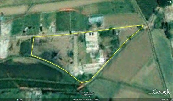
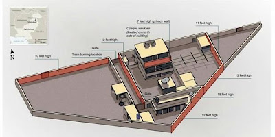
The shooting Osama Bin Laden has become headline news around the world. Osama was reported shot in a mansion, stately building in Abbottabad, a city that is relatively quiet andcool in northern Pakistan. You can view the location of Osama Bin Laden's mansion inGoogle Earth by downloading this KML file.
Web GIS: Principles and Applications, New Book of ESRIPress ESRI Press released a new book Web GIS: Principles and Applications. This book presents a comprehensive picture of the origins and development of Web GIS platform. The technologies discussed include ArcGIS ® Server, REST services, JavaScript API / Flex API, and ArcGIS ® Mobile. This book offers a balance between the principles, concepts, and techniques to provide an understanding of how the Web GIS can revolutionize the way you use GIS functions.
Web GIS: Principles and Applications from ESRI Press
Read more »
Converting Lat / Long to UTM in MapSource I want to show you simple tips on how to convert the coordinate system be the default in MapSource ie Lat / Long to UTM. I am posting these tips to answer an Engineer in the office who want to make a report the location of waypoints that he has a plot in the field using the UTM projection system.
The following
conversion
stage
projection
system
in
MapSource
:
Open the
GPS
data
file
or download
from
the GPS
device
using
MapSource
From the
Edit menu
-
>
select
Preferences
Read more »
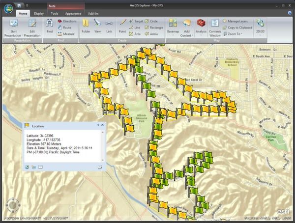
ESRI Releases ArcGIS Explorer Desktop Build 1700 ESRI today released the latest version of the free GIS viewer Desktop ArcGIS Explorer Build 1700, with new improvements to them already integrated with GPS, improved query features and new features that the user can add that have been geotagged photos directly into the map by drag and drop.
Read more »
Inserting File (PDF, Doc, JPG) into the Geodatabase at ArcGIS Layer 10 One fitu new in ArcGIS 10 is the ability to insert files (attachments) into the layer. With attachments, the user can add information related to that layer. Attachments almost similar to hyperlinks, but the user can insert more than one file (various types of file formats) into a geodatabase layer.
Read more »
Layout Conversion ArcMap (MXD) to CAD (DXF / DWG) By default, ArcGIS does not have the ability to convert ArcMap layout to the CAD format (DXF / DWG). But there are some software / ArcGIS extension that can be utilized to perform the conversion.
Read more »
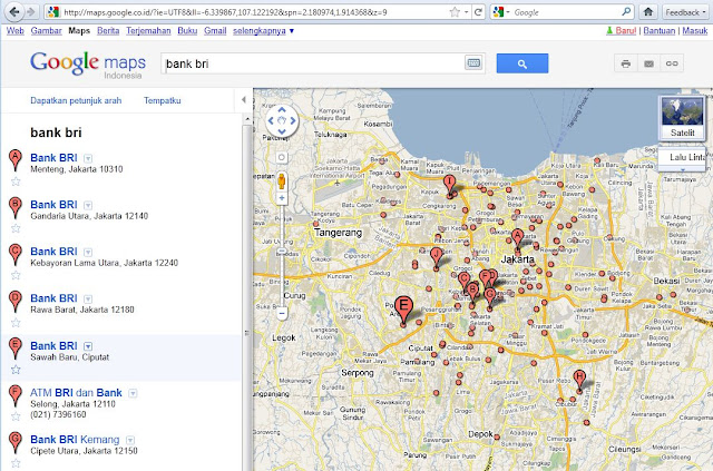
New Look at Google and Google Maps Tuesday, Google's redesign looks. Not just on Google Search, Google Maps also has a fresher appearance. Major theme at this new design is "more focused, elastic, and effortless."
Read more »
Newer Posts
Older Posts
Home
Subscribe to:
Posts (Atom)