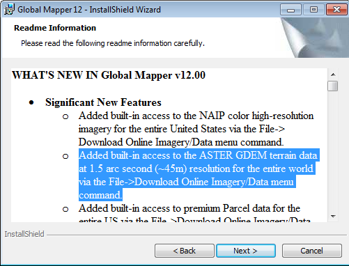
As you may know through my post about ASTER GDEM before,that GDEM processed using a stereo-correlating 1.3 millionASTER scene optical image archives. Covering 83 degrees north latitude and 83 degrees south latitude, which means almost 99% of the earth's surface covered by the GDEM with 1.5 arc secondaccuracy level (~ 45 meters), beating the SRTM dataset which onlycover 80% of the Earth's surface with 3 arc second accuracy level(~ 90 meters)
Please see the comparison with SRTM resolution ASTER GDEMbelow.
 |
| Dataset SRTM |
 |
| Data ASTER GDEM |