 |
| AutoCAD WS on Android |
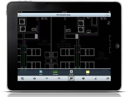
AutoCAD WAS available basic features such as drawing / editing / annotation tools and also supports layers. Currently you do not create new files in this service, because it functions only to view and edit it.
However, you can create a DWG file / DXF using CAD software free LibreCAD / CADuntu to then upload it into AutoCAD WAS. Or you can also save as a file you've uploaded previously, delete all the existing features and layers. That way you have a blank canvas to create a new drawing.
AutoCAD WAS already integrated with Google Maps. With Google Maps as the background of CAD drawings, users can collaborate between drawing / design with a map / satellite image. User can share, review, co-edit, or publish a link or image map that the user selected.
WAS supports AutoCAD DXF files / DWG with geoference, but do not have features to make changes to the projection coordinate system. If you want pictures you can overlay it with Google Maps that are already available in the service, then your image should have a geographic projection system. But if your coordinate system is different from the existing maps on Google Maps, you can use a tool to adjust Place Drawing a map on Google Maps.
WAS AutoCAD can be used by anyone with first register there. Here is a video that shows the use of AutoCAD WAS in a tablet with the Android platform.